| | Groningen | |
| | Dollard, (luchtfoto), (Emden, Duitsland), The Netherlands/Nederland. 1 photos: 11046201. | |
| | | |
| | Friesland | |
| | Ameland, (luchtfoto), Ameland, The Netherlands/Nederland. 1 photos: 11046202. | |
| Terschelling, De Boschplaat (luchtfoto), Terschelling, The Netherlands/Nederland. 9 photos: 20100201-05, 30-32, 11046203. | |
| | Vlieland, Vlieland, The Netherlands/Nederland. 1 photos: 19080105. | |
| | |
| | 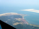 | 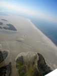 | 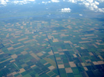 | |
| 11046204 (luchtfoto) | 11046205 (luchtfoto) | 11088111 (luchtfoto) | |
| | Oost Vlieland en zandplaat Richel | De Vliehors | Friesland | |
| | | |
| | Friesland. | |
| | � Photos/Foto’s: Hannie Drost, Gert Hoekstra | |
| | | |
| | Overijssel | |
| | Enschede, Roombeek (luchtfoto), Enschede, The Netherlands/Nederland. 2 photos: 10016202-03. | |
| | |
| | 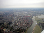 | 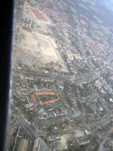 | | |
| 10016201 (luchtfoto) | 10016203 (luchtfoto) | | |
| | Deventer, IJssel | Roombeek, Enschede | | |
| | | |
| | 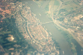 | 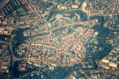 | | |
| 01070219 (luchtfoto) | 01070218 (luchtfoto) | | |
| | Kampen, IJssel | Zwolle | | |
| | | |
| Overijssel. | |
| | � Photos/Foto’s: Gert Hoekstra, Henk Kuiper. | |
| | | |
| | Gelderland | |
| | Slot Loevestein (luchtfoto), Loevestein 1, Poederoijen, The Netherlands/Nederland. 4 photos: 12016207-10. | |
| | |
| | 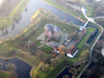 | 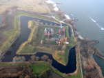 | 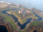 | |
| 12016207 (luchtfoto) | 12016208 (luchtfoto) | 12016209 (luchtfoto) | |
| | Slot Loevestein | Slot Loevestein | Slot Loevestein | |
| | | |
| | 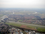 | | 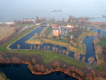 | |
| 10016204 (luchtfoto) | | 12016210 (luchtfoto) | |
| | Doesburg, IJssel en Broekhuizerwater (Oude IJssel) | | Slot Loevestein | |
| | | |
| Gelderland. Slot Loevestein (1360 Dirc Loef van Horne) aan de Waal, waar vanaf 1619 de rechtsgeleerde Hugo de Groot gevangen gehouden werd en vanwaar hij in 1621 ontsnapte in een boekenkist. Thans museum. | |
| | � Photos/Foto’s: Gert Hoekstra | |
| | | |
| | Flevoland | |
| | |
| | 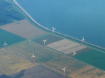 | | | |
| 11088112 (luchtfoto) | | | |
| | Flevoland | | | |
| | | |
| Flevoland. | |
| | � Photos/Foto’s: Hannie Drost. | |
| | | |
| | Utrecht | |
| | |
| | 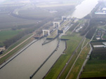 | | | |
| 10016206 (luchtfoto) | | | |
| | Wijk bij Duurstede. Prinses Irenesluizen in het Amsterdam-Rijnkanaal | | | |
| | | |
| Utrecht. | |
| | � Photos/Foto’s: Gert Hoekstra | |
| | | |
| | Noord-Holland | |
| | Luchtfoto’s Haarlemmermeer, Haarlemmermeer, The Netherlands/Nederland. 8 photos: 21070246-52, 08070512. | |
| | Luchtfoto Hoofddorp, Hoofddorp, The Netherlands/Nederland. 1 photos: 08070516. | |
| | Texel, (luchtfoto’s), Texel, The Netherlands/Nederland. 8 photos: 11046206-12. | |
| | Petten, reactor ECN (luchtfoto’s), Petten, The Netherlands/Nederland. 1 photos: 11046215. | |
| | Schoorlse duinen (luchtfoto’s), Petten, The Netherlands/Nederland. 1 photos: 11046216. | |
| | Radio Nora en Oostduinse Meer, (luchtfoto’s), Zandvoort, The Netherlands/Nederland. 1 photos: 11046224. | |
| | |
| | 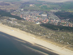 | 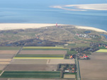 |  | |
| 11046211 (luchtfoto) | 11046208 (luchtfoto) | 21190210 (kop van noord-holland) | |
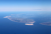
| | De Koog | De Cocksdorp en vuurtoren | Luchtfoto van Texel, Vlieland en Terschelling | |
| | | |
| |  |  | | |
| 11046213 (luchtfoto) | 11046214 (luchtfoto) | | |
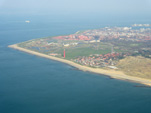
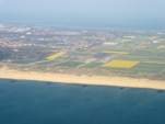
| | Den Helder met vuurtoren | Bollenvelden ten zuiden van Den Helder | | |
| | | |
| |  | 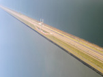 | 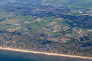 | |
| 10086207 (luchtfoto) | 10086206 (luchtfoto) | 21190207 (kennemerland) | |
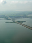
| Den Oever, Afsluitdijk, Stevinsluizen en Robbenplaat | Afsluitdijk, de Vlieter | Luchtfoto van Egmond aan Zee | |
| | | |
| | 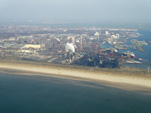 | 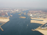 | | |
| 10086217 (luchtfoto) | 10086219 (luchtfoto) | | |
| IJmuiden, Hoogovens | IJmuiden en Noordzeekanaal | | |
| | | |
| | 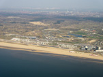 | 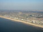 | 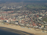 | |
| 10086220 (luchtfoto) | 10086221 (luchtfoto) | 10086222 (luchtfoto) | |
| Zandvoort, race-circuit met op de achtergrond Haarlem | Zandvoort | Zandvoort | |
| | | |
| | 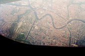 | 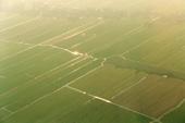 | 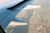 | |
| 08070515 (luchtfoto) | 08070513 (luchtfoto) | 08070514 (luchtfoto) | |
| | Haarlem | Spaarnwoude | IJmuiden en Noordzeekanaal | |
| | | |
| | | 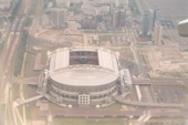 | | |
| | 04080217 (luchtfoto) | | |
| | | Amsterdam ArenA | | |
| | | |
|  |  | 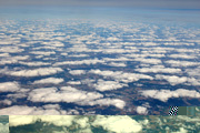 | |
| | 21070218 (luchtfoto) | 21070221 (luchtfoto) | 21070225 (luchtfoto) | |
| | Clouds | Clouds | Clouds | |
| | | |
|  |  | | |
| | 21070246 (luchtfoto) | 21070247 (luchtfoto) | | |
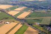
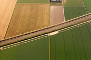
| | Haarlemmermeer A4 en A44 | Haarlemmermeer HSL | | |
| | | |
| | Noord-Holland. | |
| | � Photos/Foto’s: Gert Hoekstra, Henk Kuiper. | |
| | | |
| | Zuid-Holland | |
| | Beneden Merwede, Noord en Oude Maas, Papendrecht, Dordrecht en Zwijndrecht, The Netherlands/Nederland. 4 photos: 11046236-39. | |
| | Gouda, Reeuwwijkseplassen, (luchtfoto’s), Texel, The Netherlands/Nederland. 1 photos: 11046233. | |
| | Hollands Diep, (luchtfoto’s), The Netherlands/Nederland. 2 photos: 11046240-41. | |
| | Luchtfoto Hellevoetsluis, Hellevoetsluis, The Netherlands/Nederland. 1 photos: 21070236. | |
| | Luchtfoto Herkingen, Herkingen, The Netherlands/Nederland. 1 photos: 21070231. | |
| | Luchtfoto Leiden, Leiden, The Netherlands/Nederland. 2 photos: 21070242-43. | |
| | Luchtfoto Middelharnis/Sommelsdijk, Middelharnis/Sommelsdijk, The Netherlands/Nederland. 2 photos: 21070232, 34. | |
| | Luchtfoto Rotterdam, Rotterdam, The Netherlands/Nederland. 2 photos: 21070238-39. | |
| | Luchtfoto Tiengemeten, Tiengemeten, The Netherlands/Nederland. 2 photos: 21070235 08070521. | |
| | | |
| |  |  | 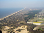 | |
| 11046223 (luchtfoto) | 11046225 (luchtfoto) | 11046226 (luchtfoto) | |
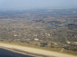
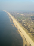
| Drinkwaterinfiltratiegebied tussen Zandvoort en Noordwijkerhout | Kustlijn ter hogte van Noordwijkerhout | Kustlijn ter hogte van Noordwijkerhout | |
| | | |
| | 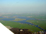 | 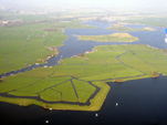 | 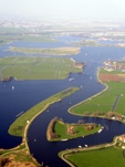 | |
| 11046227 (luchtfoto) | 11046228 (luchtfoto) | 11046229 (luchtfoto) | |
| Kagerplassen, Warmond en Huys te Warmont | Kagerplassen, Zwanburgerpolder en Lakerpolder | Kagerplassen | |
| | | |
| |  |  |  | |
| 11046230 (luchtfoto) | 11046231 (luchtfoto) | 11046232 (luchtfoto) | |
| A4 ter hoogte van Leiderdorp met ingang HSL-tunnel | Oude Rijn door Hazerswoude-Rijndijk en Koudekerk aan de Rijn | Riethoornse Polder tussen Hazerswoude-dorp en Boskoop | |
| | | |
| |  | 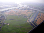 | 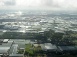 | |
| 11046234 (luchtfoto) | 11046235 (luchtfoto) | 10086205 (luchtfoto) | |
| Kinderdijk, molengang | Kinderdijk, Hooge Boezem van de Nederwaard, samenkomst van Nieuwe Maas, Noord en Lek | Westland, kassengebied | |
| | | |
| | 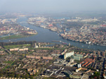 | 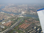 | 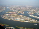 | |
| 11046236 (luchtfoto) | 11046238 (luchtfoto) | 10086239 (luchtfoto) | |
| Papendrecht, Dordrecht en Zwijndrecht, samenkomst van Beneden Merwede (met brug), Noord en Oude Maas | Dordrecht (centrum) en Zwijndrecht met Spoorbrug en Drechttunnel | Dordrecht, industriegebied Krabbepolder (Dordtse Kil) | |
| | | |
| | 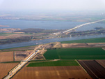 | 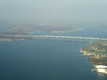 | 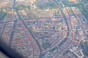 | |
| 11046240 (luchtfoto) | 11046241 (luchtfoto) | 21070242 (luchtfoto) | |
| HSL tunnel onder de Dordtsche Kil | Moerdijkbruggen | Leiden | |
| | | |
| | 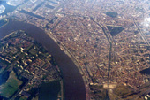 | 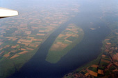 | 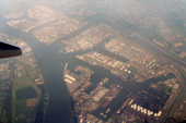 | |
| 08070523 (luchtfoto) | 08070521 (luchtfoto) | 08070520 (luchtfoto) | |
| | Antwerpen | Tiengemeten | Botlek | |
| | | |
| 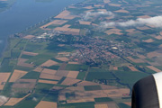 |  |  | |
| | 21070234 (luchtfoto) | 21070235 (luchtfoto) | 21070239 (luchtfoto) | |
| | Middelharnis en Sommelsdijk | Tiengemeten | Rotterdam | |
| | | |
| | Zuid-Holland. | |
| | � Photos/Foto’s: Gert Hoekstra, Henk Kuiper. | |
| | | |
| | Zeeland | |
| | Kanaal door Zuid-Beveland, (luchtfoto), The Netherlands/Nederland. 1 photos: 11056223. | |
| | Luchtfoto Goes, Goes, The Netherlands/Nederland. 1 photos: 21070227. | |
| | Luchtfoto Tholen en St. Philipsland, Tholen, The Netherlands/Nederland. 2 photos: 21070228-29. | |
| | Luchtfoto Philipsdam, Tholen, The Netherlands/Nederland. 1 photos: 21070230. | |
| | Oosterschelde, (luchtfoto’s), The Netherlands/Nederland. 3 photos: 11056203, 34, 38. | |
| | Westerschelde, (luchtfoto’s), The Netherlands/Nederland. 3 photos: 11056208, 15, 11046200. | |
| | |
|  |  |  | |
| | 21070227 (luchtfoto) | 21070228 (luchtfoto) | 21070230 (luchtfoto) | |
| | Goes | Tholen en St. Philipsland | Philipsdam | |
| | | |
| | 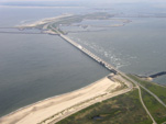 |  | 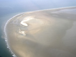 | |
| 11056203 (luchtfoto) | 11056238 (luchtfoto) | 11056234 (luchtfoto) | |
| | Oosterscheldekering en Neeltje Jans | Oosterscheldekering | Zandplaat in de Oosterschelde | |
| | | |
| | 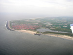 | 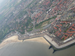 | 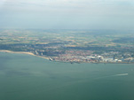 | |
| 11056208 (luchtfoto) | 11056215 (luchtfoto) | 11046200 (luchtfoto) | |
| | Westkapelle, Westkapelse Kreek en Westerschelde | Vlissingen | Vlissingen en Westerschelde | |
| | | |
| | 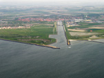 | 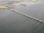 |  | |
| 11056232 (luchtfoto) | 110562131 (luchtfoto) | 11056225 (luchtfoto) | |
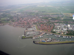
| | Zierikzee, Havenkanaal en Oosterschelde | Zeelandbrug, Oosterschelde en Schouwen-Duiveland | Yerseke | |
| | | |
| Zeeland. | |
| | � Photos/Foto’s: Gert Hoekstra, Henk Kuiper. | |
| | | |
| | Noord-Brabant | |
| | Bergsche Maas, (luchtfoto’s), Brabant, The Netherlands/Nederland. 3 photos: 08026202-04. | |
| | Biesbosch, (luchtfoto’s), Brabant, The Netherlands/Nederland. 11 photos: 12016201-11. | |
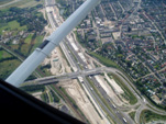
| Breda, A16 en aanleg HSL, (luchtfoto’s), Breda, The Netherlands/Nederland. 1 photos: 12016212. | |
| | Mark, (luchtfoto’s), Terheijden, The Netherlands/Nederland. 1 photos: 11046209. | |
| | Rosendaal, (luchtfoto’s), Roosendaal, The Netherlands/Nederland. 1 photos: 08036202. | |
| | |
| |  |  |  | |
| 08026202 (luchtfoto) | 08026203 (luchtfoto) | 08026204 (luchtfoto) | |
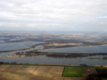
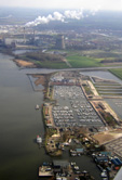
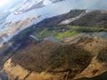
| | NP De Biesbosch met delen van de spaarbekkens “Honderd en Dertig” en ” De Gijster” en op de voorgrond de rivier de Amer (Bergsche Maas) | Drimmelen, jachthaven en Amercentrale, Geertruidenberg | Nationaal Park De Biesbosch ter hoogte van Geertruidenberg met bovenin de rivier de Bergsche Maas | |
| | | |
| |  |  |  | |
| 10086101 (luchtfoto) | 10086102 (luchtfoto) | 08036202 (luchtfoto) | |
| | Oudenbosch, RK kerk H.H. Agatha en Barbara, De kleine Sint Pieter | Oudenbosch, RK kerk H.H. Agatha en Barbara, De kleine Sint Pieter | Vliegveld Seppe tussen Roosendaal en Etten-Leur en A58 | |
| | | |
| |  |  |  | |
| 10086203 (luchtfoto) | 10086204 (luchtfoto) | 08026201 (luchtfoto) | |
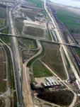
| | Breda, Reconstructie A16, aanleg van HSL | Breda, Reconstructie A16, aanleg van HSL | A16 nabij Lage Zwaluwe, aanleg van HSL | |
| | | |
|  |  |  | |
| 10016205 (luchtfoto) | 10016206 (luchtfoto) | 08026208 (luchtfoto) | |
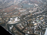
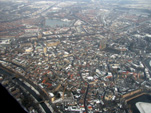
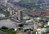
| | ‘s-Hertogenbosch, De Citadel, Rijksarchief | ‘s-Hertogenbosch, centrum | ‘s-Hertogenbosch, Provinciehuis | |
| | | |
| |  |  |  | |
| 08026205 (luchtfoto) | 08026206 (luchtfoto) | 08036201 (luchtfoto) | |
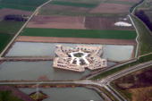
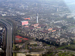
| | ‘s-Hertogenbosch, moderne citadel | Geffen met bovenin de Geffense plas | Roosendaal | |
| | | |
| | 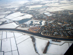 | 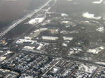 | 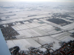 | |
| 10016209 (luchtfoto) | 10016207 (luchtfoto) | 10016208 (luchtfoto) | |
| | Terheijden, Mark | Kaatsheuvel (voorgrond) en Winter Efteling | Winters Brabant | |
| | | |
| Noord-Brabant. | |
| | � Photos/Foto’s: Gert Hoekstra | |
| | | |
| | | |


